Tesla builds own maps to fix FSD
The automaker is developing a new AI-driven mapping system to address persistent issues with speed limits and routing in its driver-assist software.
By Jessica Peterson ·
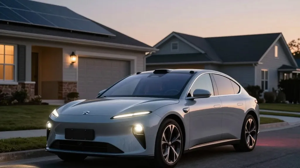
Tesla is developing its own mapping technology to address some of the most common failures in its Full Self-Driving system. The company’s head of AI, Ashok Elluswamy, detailed this new effort during the earnings call for the third quarter of 2026. The primary goals are to improve how the vehicle reads speed limits, handles parking, and selects the best routes for drivers.
This represents a significant change in direction for the automaker. For years, CEO Elon Musk argued that self-driving systems relying on maps were too fragile. He famously dismissed the approach used by competitors, suggesting that Tesla could solve driving with cameras and artificial intelligence alone. Now, the company is essentially doing the same job that Waymo performs, using its fleet to map roads so the software knows what it cannot figure out on its own.
The decision follows specific feedback from shareholders. During a Q&A session, a retail investor noted that mapping remains a major issue for the FSD software. They listed speed limits, parking, and typical routes as the biggest pain points and asked why the company relies on third-party data. Elluswamy agreed that the company should not depend on external maps. He explained that a new AI-based architecture is being built. This system will be fed by data from the entire fleet and will learn individual driver preferences while responding to voice commands.
The rollout of this technology will happen in stages. It will first handle the start and end of trips with the upcoming version 15 of the software. Over the coming months, it is expected to take over navigation, parking, and destination handling. This timeline suggests a gradual integration rather than a sudden switch.
It is worth noting that this is not the same as the high-definition maps Musk criticized in 2019. At that time, he called relying on detailed lane maps a huge mistake that made the system brittle. He also dismissed lidar as a fool’s errand. However, the current plan is to build a map layer from the fleet to fix specific errors in the vision system. It is a more subtle approach than the granular maps described in 2015, but it serves a similar purpose.
The need for this fix is clear when looking at real-world performance. Last month, a Belgian road safety group tested the system in Brussels. They found that the software sped in 55% of 30 km/h zones, averaging 44 km/h. The car’s screen often displayed a 50 km/h limit instead. In the United States, the NHTSA is weighing an investigation into claims that Robotaxis speed through school zones. These issues highlight that the vision system still struggles with basic environmental understanding.
This strategy brings Tesla closer to its competitor Waymo than it may prefer. Waymo uses sensor-equipped vehicles to map cities before launching service and keeps those maps updated. Tesla is now describing a similar model where cars collect data to feed a central map. The main difference is that Waymo vehicles use lidar. Tesla’s Robotaxi service already operates in small geofenced areas, and a map built from millions of vehicles could easily become more detailed over time. If the vision system cannot reliably read a simple speed limit sign, a better map may be the necessary solution.